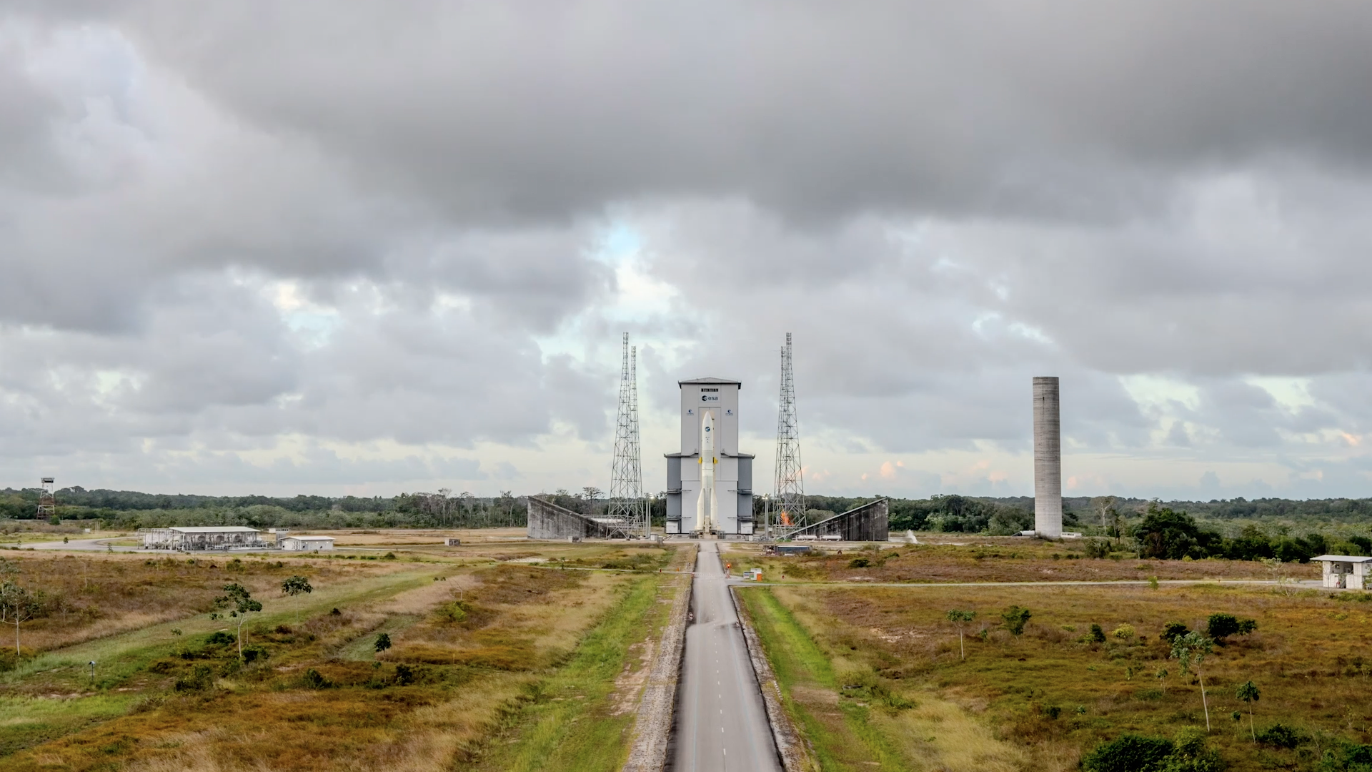

The European Space Agency has set 27 August as the launch date for MTG-I2, the next satellite in Europe’s Meteosat Third Generation weather constellation. The spacecraft is scheduled to fly from Europe’s Spaceport in French Guiana on an Ariane 6 rocket, in what ESA describes as the launcher’s first mission to geostationary orbit.
The date was confirmed in ESA’s 10 August pre-launch announcement, which also outlined a series of briefings for journalists before liftoff. The announcement is a launch update, not evidence that the satellite is already delivering operational data. MTG-I2 will need to reach orbit, complete commissioning and be integrated into the ground segment before its observations become part of routine services.
MTG-I2 is the third satellite to join the MTG programme developed by ESA for Eumetsat. The constellation already includes the first MTG-Imager and the MTG-Sounder. Once deployed, MTG-I2 will complete the first group of MTG spacecraft and add another high-resolution view of rapidly changing conditions over Europe and North Africa.
The mission is designed around two instruments. The Flexible Combined Imager will observe the full Earth disc from geostationary orbit in about 10 minutes and scan Europe every 2.5 minutes. That rapid repeat cycle is intended to help forecasters follow the development of thunderstorms, fast-moving cloud systems and other severe weather hazards while they are forming.
The second instrument is the Lightning Imager. It is designed to detect individual lightning events continuously, both during the day and at night. From an altitude of roughly 36,000 kilometres above the equator, the instrument can monitor more than 80 percent of the Earth visible from its orbital position. Lightning observations can provide an additional signal for weather services tracking storms that are intensifying or changing structure.
These capabilities matter because many high-impact weather events evolve faster than conventional forecast cycles. More frequent satellite images can give meteorologists a denser stream of observations to compare with radar, surface measurements and numerical weather models. ESA says the MTG data are intended to support nowcasting and improve numerical weather prediction, but the satellite will not replace those other systems or remove uncertainty from short-term forecasts.
The programme is also designed to support climate and environmental monitoring. The imagers can observe features including clouds, water vapour, oceans, fires and other surface conditions. In combination with the wider MTG constellation, these observations should provide continuity for European weather and climate services over the coming decades. ESA expects the fully operational constellation to generate at least 50 times more data than the previous Meteosat Second Generation satellites.
MTG-I2 has already passed through the main transport and launch-preparation stages. In a July report on the launch campaign, ESA described the spacecraft being removed from its protective casing at the spaceport in Kourou. Teams then carried out electrical, mechanical and cleanliness checks before preparing the satellite for fuelling and attachment to the Ariane 6 launch adapter.
The satellite’s final path to useful observations will continue after launch. It must be placed into its planned geostationary position, checked in orbit and connected to the associated ground systems. ESA’s published programme information says the rapid-scanning service over Europe is expected to become available after commissioning of both MTG-I2 and its ground segment in 2027. That timeline is a programme expectation, not a guarantee that every planned capability will be immediately available after liftoff.
For weather agencies, the value of MTG-I2 will therefore be measured in the quality and timeliness of the data it supplies once the spacecraft is operational. For now, the verified development is more limited but still significant: ESA has announced a firm launch date for a satellite intended to strengthen Europe’s observing system for severe weather, climate monitoring and environmental risk assessment.